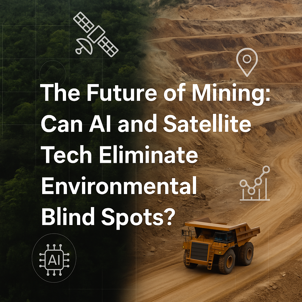
The Future of Mining
Can AI and Satellite Tech Eliminate Environmental Blind Spots?
Dheeraj
6/17/20253 min read
Mining has always been about uncovering what lies beneath. But what if the next big revolution is about seeing what we don’t—from subtle ecological shifts to invisible compliance failures?
As the pressure on the mining industry grows—from regulators, investors, and communities—there’s a new wave of innovation sweeping across the sector. It's not about bigger excavators or deeper drills. It's about data. And more importantly, intelligent data.
Enter AI, GIS, and Satellite Tech :
Let’s start with what’s already happening on the ground (and above it):
Satellite Monitoring for Environmental Compliance
Mining firms in Latin America, Australia, and now increasingly in India, are deploying high-resolution Earth observation satellites (like those from Planet Labs, Sentinel-2, or ICEYE) to track land-use changes, water body shrinkage, and vegetation loss in real-time.
In Brazil, satellite tech helped spot illegal deforestation by a bauxite miner—weeks before on-ground inspections could catch up.
In India, the Forest Survey of India (FSI) is using remote sensing to monitor mining near eco-sensitive zones in Jharkhand and Odisha.
This isn’t just watchdog work. Companies are using it proactively to prove compliance—before they're called out.
AI for Predictive Environmental Modeling
AI models are now being trained to:
Predict tailings dam failure risks (based on weather patterns, stress factors, and satellite inputs)
Detect unauthorized expansion of mine lease areas
Model the downstream dust plume spread and air pollution levels
Companies like BHP and Rio Tinto have invested in AI-led risk assessment platforms. In India, a few progressive players are piloting ML models integrated with IoT sensors to monitor dust levels, water contamination, and vibrations near habitations.
AI isn’t just flagging problems—it’s forecasting them. That means mining firms can act before the damage occurs.
GIS and Drone Mapping for Micro-Level Insights
Gone are the days when GIS was just about topographic maps. Today:
3D drone-based GIS mapping is being used to calculate exact overburden volume.
Thermal mapping detects potential leaks in slurry pipelines.
LiDAR sensors help plan haul road designs that reduce erosion and runoff.
In Karnataka’s Bellary district, drone-GIS tech is now being tested to plan reforestation layouts post-mining—using native species, slope analysis, and soil moisture data.
So… Can These Technologies Eliminate Blind Spots?
They can drastically reduce them, but only if mining companies:
Integrate tech into operations, not just into reports
Train ground-level teams to use and trust digital tools
Make data publicly available—or at least transparent to regulators and communities
Blind spots exist not just because we lack the tech, but because we often lack the will to use it consistently.
India's Opportunity: From Late Adopter to Leapfrog Leader
India is at a pivotal point. With the government opening up commercial coal blocks and private mining, there’s a risk of old habits resurfacing—haphazard extraction, poor rehabilitation, ignored social impact.
But there's also an opportunity to bake in transparency and tech from day one. Imagine a mining ecosystem where:
Real-time satellite dashboards are shared with district-level authorities
AI-generated ESG scores are tied to mining lease renewals
Drone audits are accepted as evidence in CSR reporting
It’s not a pipe dream. With platforms like Bhuvan (ISRO) and increasing access to low-cost commercial AI tools, it’s entirely doable.
The Final Frontier Isn’t the Earth—It’s Visibility
If mining is to power the green economy—lithium, rare earths, copper—we need to do it without destroying the very systems we aim to save.
The future of mining doesn’t just lie underground. It lies in the cloud, in satellites, in dashboards, and in the minds of decision-makers willing to let tech do what it does best: make the invisible, visible.
At Ecomine, we’re helping mining operations take the first steps—whether it’s AI-powered dust mapping or satellite compliance audits. Because in the end, you can’t manage what you can’t see.
Solutions
Innovating deep-tech solutions for mining and mineral expploration.
Get in touch
Requirement
Mail : enquiry@ecomine.in
© 2026. All rights reserved.