Drone Survey
High-accuracy aerial intelligence for mining.


Types of Drone surveys available
Hyperspectral Imaging
Photogrammetry Survey
Magnetic Survey
GPR survey
Seismic Survey
Orth mosaic mapping (cm-level accuracy)
Volumetric calculations for stockpiles & benches
Contour & topographic models
Change detection & compliance monitoring
Mine progression tracking
Highwall and slope inspection
Drone-based LiDAR for dense, vegetation-penetrating point clouds
Mining Automation
Ecomine provides end-to-end technical guidance to mining companies—from regulatory readiness to operational optimisation.


Dumper trip recording: IoT/GNSS-based automated haul tracking
Payload monitoring: Real-time load sensing on dump trucks
Blast hole analytics: AI-driven grade control from drill data
Ore quality prediction: Hyperspectral conveyor-based grade sensing
Shovel-cabin links: Live communication for coordinated loading operations
Data-driven exploration to reduce risk and improve target accuracy


Spectropy: AI-Powered Mineral Prediction Platform
Proprietary AI/ML prediction engine for mineral exploration
Fuses hyperspectral satellite imagery, hyperspectral drill-core analysis, and geophysical data (magnetic, gravity, radiometric, EM)
Uses spectral unmixing, geophysical inversion, and deep-learning models
Trained specifically on Indian terrains
Delivers high-confidence mineral prediction — from surface to drill bit
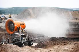
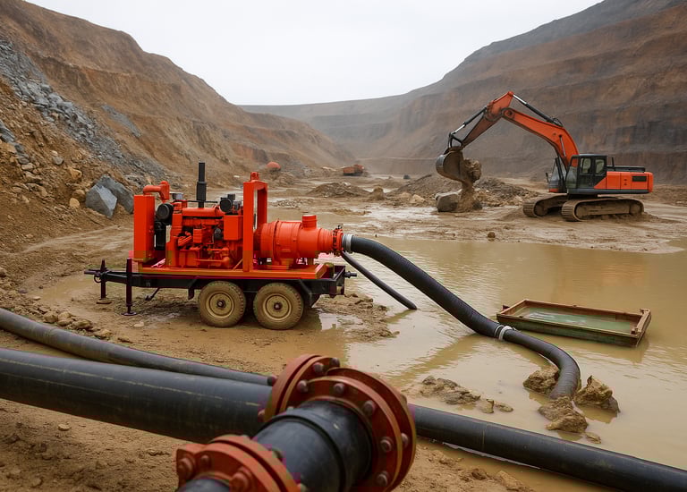
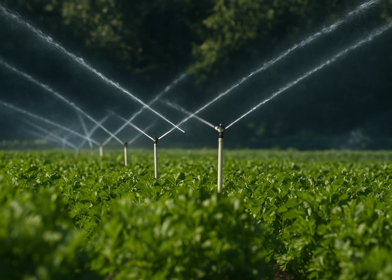
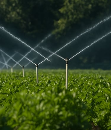
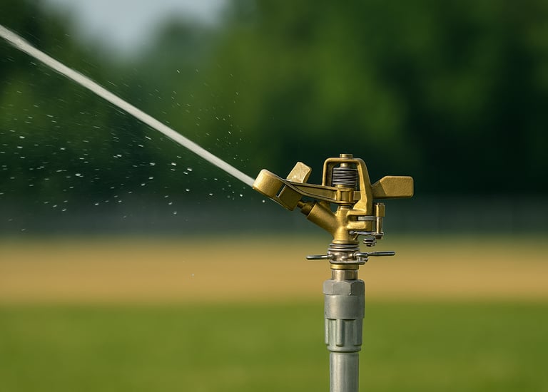
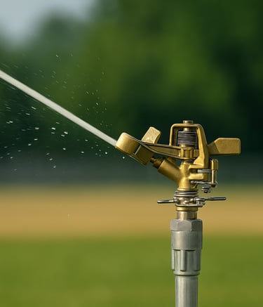
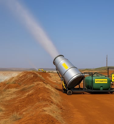
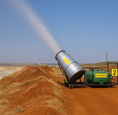
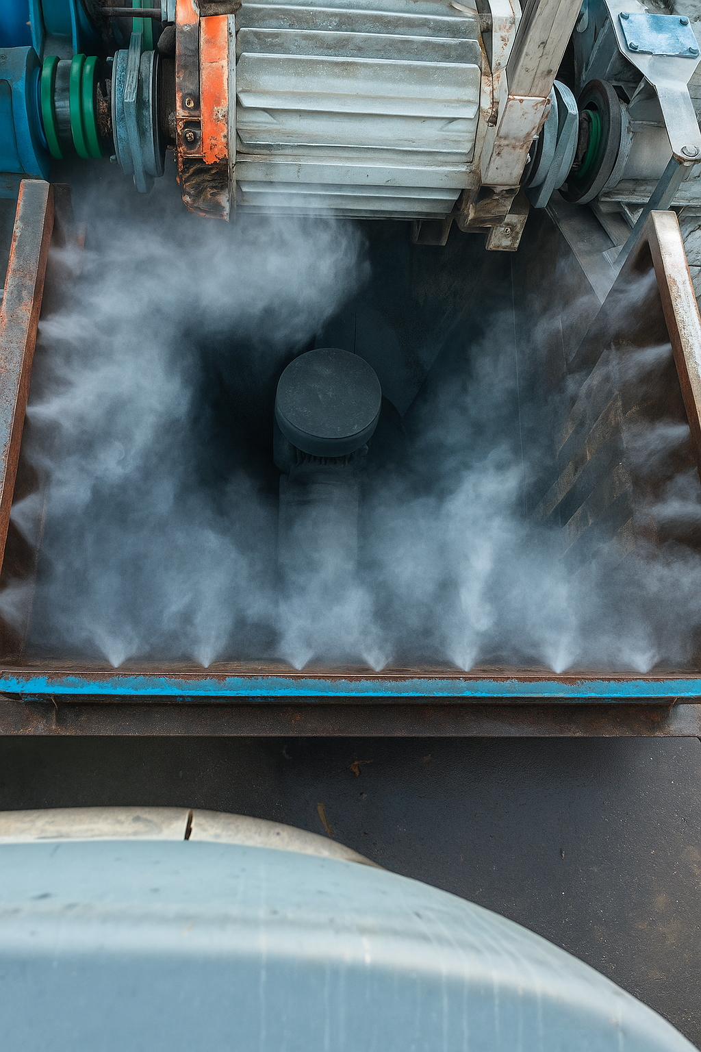
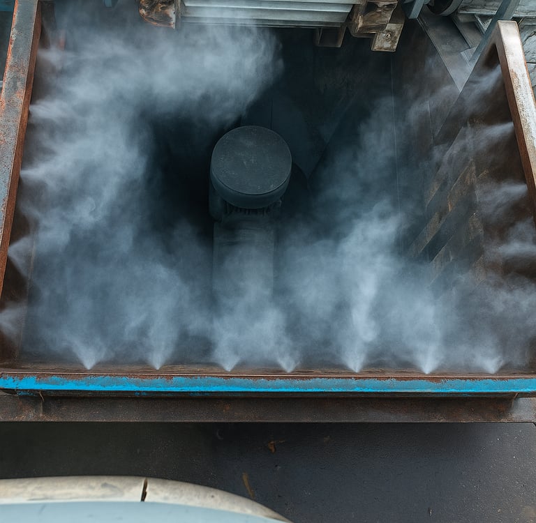
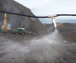
Dust Suppression Systems
Ecomine delivers innovative engineering and environmental solutions for efficient industrial and mining operations.
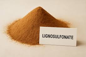


Degradable Polymer Based
Eco-friendly, Sustainable and Degradable Polymers
Water Based
Sprinklers, Misters, Foggers, Cannons


Misting Sustainability
Innovative engineering for sustainable dust and water management.


Solutions
Innovating deep-tech solutions for mining and mineral expploration.
Get in touch
Requirement
Mail : enquiry@ecomine.in
© 2026. All rights reserved.