
GeoMine Intelligence
A mineral exploration model trained on Western Australian historical exploration datasets. It helps you decide where to drill next.
How it works
- 01
Data in
Satellite imagery, geophysics, geology, drilling and geochemistry, brought together for your area.
- 02
AI model
One model reads all of the evidence together, having learned from Western Australian historical exploration data.
- 03
Ranked targets
A prospectivity map and a ranked list of places to drill, each with a measure of confidence.
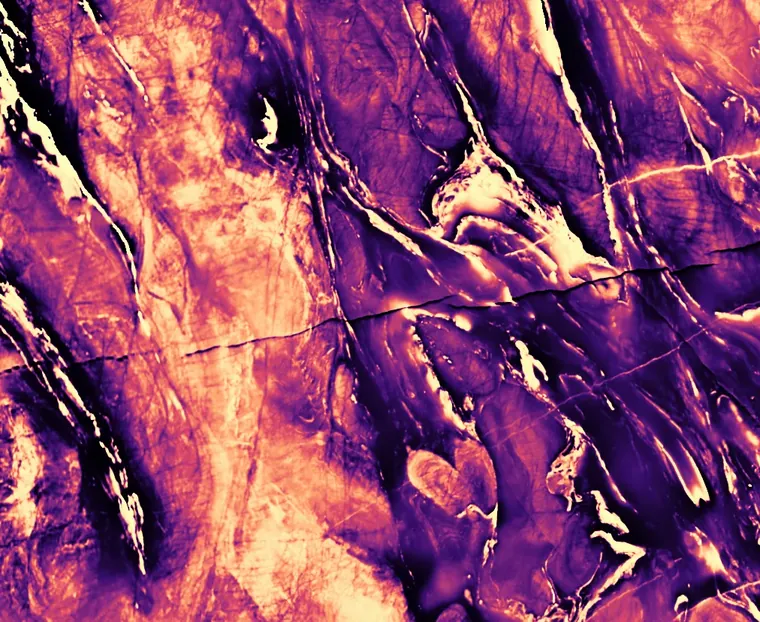
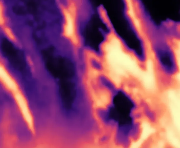
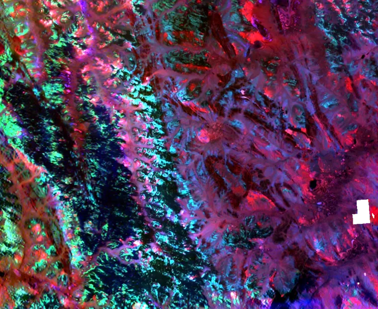
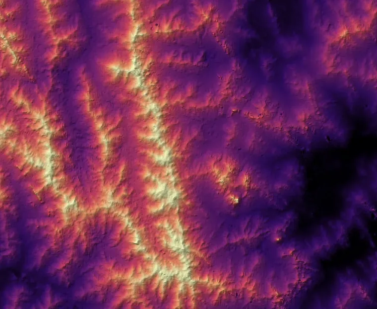
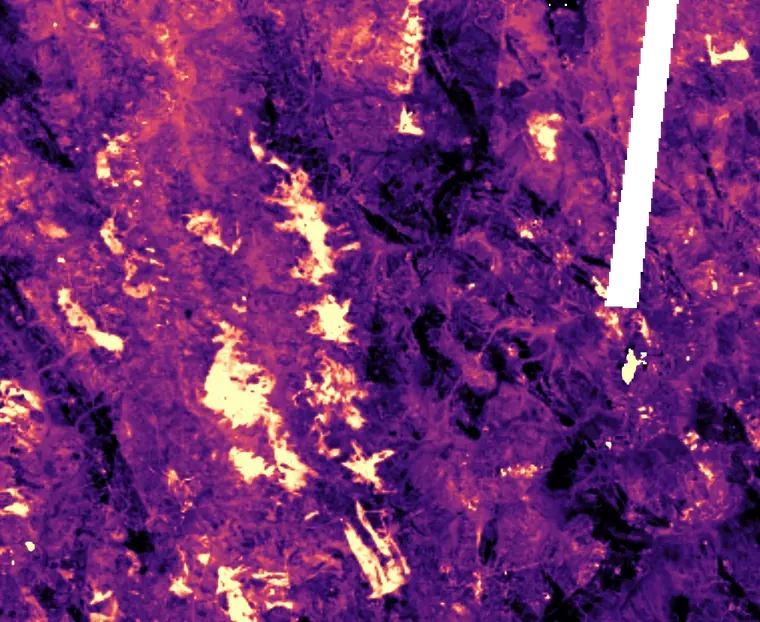
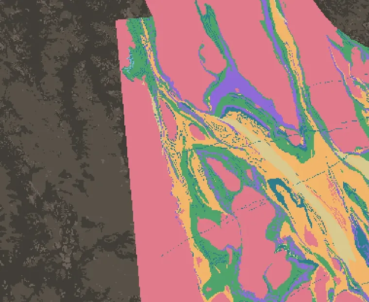
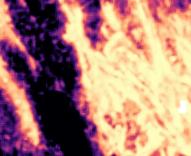
Many layers, read together
- 01Magnetics
- 02Gravity
- 03Radiometrics
- 04Elevation
- 05Satellite imagery
- 06Geology
- →Gold prospectivity
Illustrative view of the Kalgoorlie region, a long-mined public district.
drill holes
assay results, cleaned and checked
map layers
grid over about 2.5 million km² of WA
Target models →
Orogenic gold, VHMS copper-zinc and carbonatite rare earths, with state-wide prospectivity maps.
Delivered as a managed service
Scoped pilot
Start with one area and one commodity. Tell us the ground and the data you hold, and we will scope it with you.
Turnkey project
We run the models on your ground and hand over ranked targets.